One of the Tornadoes of All Time | June 18th, 2025 Swirly Storms in Central Illinois
- Andrew Pritchard

- Jun 19, 2025
- 2 min read
I don’t really know what to say about yesterday other than I got duped by one of my favorite storm observing setups in my own backyard. Give me this same exact setup 10 times and I probably do the same thing 10 more times though.
Chasing with Colin Davis and my brother Wil Pritchard we set out from Champaign-Urbana around 9 AM and drifted west down Interstate 72 toward Decatur where we waited on a lead arc of storms that we expected to become tornadic supercells as it lifted toward us. We drifted back east toward Tuscola squaring up a particularly intense storm developing to our southwest but storms grew upscale into a solid line with little evidence that there was going to be visible tornado production.
All the while, a couple of supercell thunderstorms have become prolific tornado producers right on the surface low along Interstate 72 in Cass and Morgan Counties in west-central Illinois. These tornadoes would have only been another hour or so drive west down Interstate 72 from our earlier stopping point in Decatur. We’d seen those storms developing down near St. Louis but my intuition just told me to stick with the storms in the better air, higher instability.
As it would turn out, being right on the vorticity rich surface low with just enough instability was the place to be.
We did abandon the line of storms near Interstate 57 and made a quick play for a newly developing supercell near Decatur, IL. This would not be right on the surface low, but it might be close enough to bridge the gap and get some tornado production.
The storm exhibited a lot of turbulent motion and several little circulations as we drifted northeast along with it. As we followed the storm near Bellflower on Highway 54 a white funnel cloud snaked out from the rain and crossed the road in front of us. Storm chasers who were closer confirmed a very small, weak ground circulation crossing the highway.


Technically, tornado! We observed a few more funnel clouds and swirly bases over the next hour or so before calling the chase and heading back home. Colin and I grabbed a margarita and a bite to eat at Huaraches Moroleon in Urbana and I was back home by 5 PM.
Laying in my backyard this morning enjoying a breezy, cool morning before we enter a stretch of heat across the Midwest this weekend into next week.
No obvious storm observation opportunities on the horizon locally, though the Northern Plains and Canadian Prairies may come to life over the next 10 days. Further south across the Midwest, it’ll probably be late June or early July at the soonest before I’m headed back out observing severe storms.

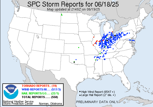
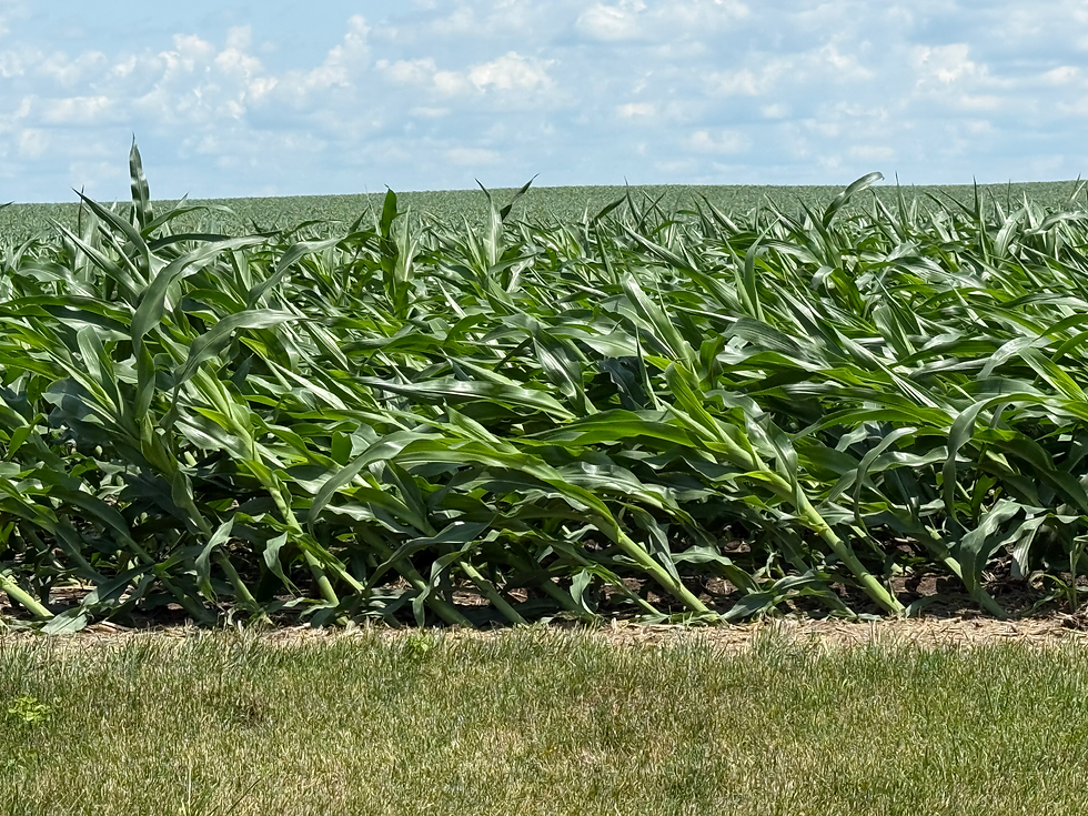
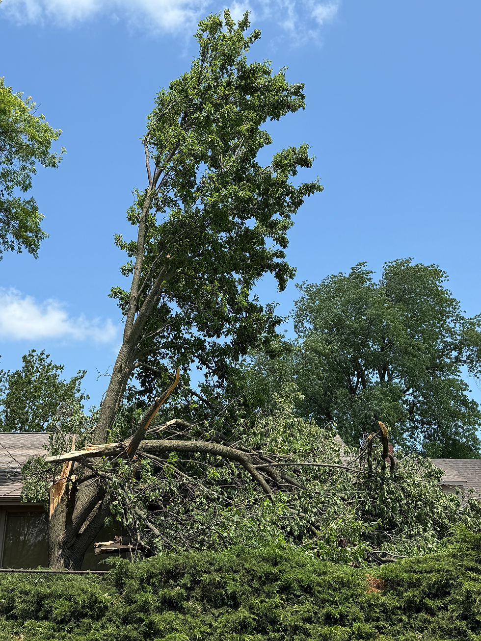
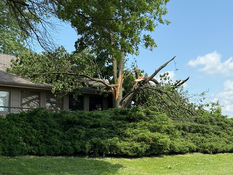
Tons and tons of severe wind reports across eastern Illinois, Indiana, and Ohio as the lead line of storms raced eastward. I went out for a drive across Champaign County this afternoon to check out some damage areas that had been sent to me, found some corn leaning over with a few stalks snapped and lots of tree damage from southern Urbana across rural areas from there to Sidney, IL.


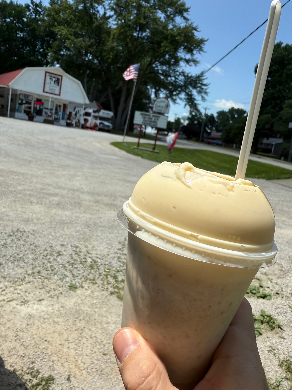
Oh yeah, and I made a mandatory stop along the way when in the Sidney vicinity...