
High Plains Supercells, Structure + Tornado Potential Today
- Andrew Pritchard

- Oct 15, 2025
- 1 min read
A classic fall lee cyclone is taking shape across eastern Colorado today, tightening up the pressure gradient and pulling low-level moisture northward into the southern and central High Plains. As that moisture seeps in, instability will gradually build — nothing dramatic, but enough to get storms going later in the day.


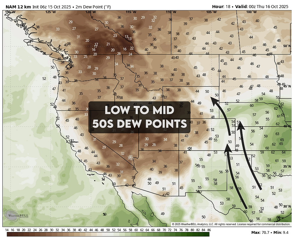

Forecast soundings show 500–1000 J/kg of MLCAPE paired with 45–50 knots of effective shear, a combination that supports organized storms and a few supercells despite the modest instability. Mid-level lapse rates are decent, so isolated large hail and strong wind gusts will be the main threats.

One interesting wrinkle: model hodographs show a touch of low-level turning from northeast Colorado into northern New Mexico, hinting that a brief tornado can’t be ruled out if a storm manages to stay surface-based in that area.

Bottom line: it’s not a blockbuster setup, but may be a photogenic High Plains day with a few structured storms possible from northern New Mexico through eastern Colorado into southeast Wyoming and the Nebraska Panhandle. One of those “don’t sleep on it” chase days.
