Landspout Tornado at Hoopeston, Illinois!
- Andrew Pritchard

- Jun 30, 2024
- 6 min read
It's a coffee and laptop in bed kind of Sunday morning. The WOW from last night has faded into a groggy, early-morning "what happened yesterday?".
I've been in a weird headspace lately. It's been an incredibly busy spring storm season with a lot of atmospheric violence. In many ways that means doing a lot of what I love - forecasting, observing, and dealing with severe storms and the things they do. This year has just felt particularly exhausting... I certainly don't wish weather destruction on my backyard, or anyone for that matter, but storms in 2024 have felt... far away. Every time that I've headed out the door to chase I've been plugging in another 5 to 10 hour one-way drive to the target area with a hotel overnight or 3 AM return home in my future. On top of that, with a career firmly rooted in weather safety, when the weather isn't being safe, I don't sleep a whole lot. This past week was particularly busy with a few extra work projects and presentations to balance and I found myself only sleeping a few hours each night while working long, mentally taxing days.
All of this venting up front is to say that when Friday, June 28th's risk for supercells and tornadoes shifted west all the way into northeast Kansas and far western Iowa - another 7+ hour drive to either target - I wasn't into it. I had a quarterly weather webinar to deliver in the morning that wrapped up at 10 AM and I could either throw my gear in the car and blast west, driving up to (hopefully) a supercell in the evening... or I could just not. I wasn't mentally or physically fit for the drive. Exhausted, in a bad mood, and a little bitter at the storm season that has delivered some of the most incredible atmospheric events I've ever witnessed for not giving me a shorter drive to a cool storm just once this spring, I went home after I finished up work and took a huge nap. One of those naps where you wake up with no idea who the hell you are, where you are, or what year it is.
I spent the rest of my Friday lazily laying around the house with my wife and dog, watching storms pop up in Kansas and Iowa, even producing a few brief tornadoes thinking, "good for them". Freddy McKinney continues to have the craziest stretch of storm chasing I've seen in a long time. Dude does not miss and is an incredible live streamer.
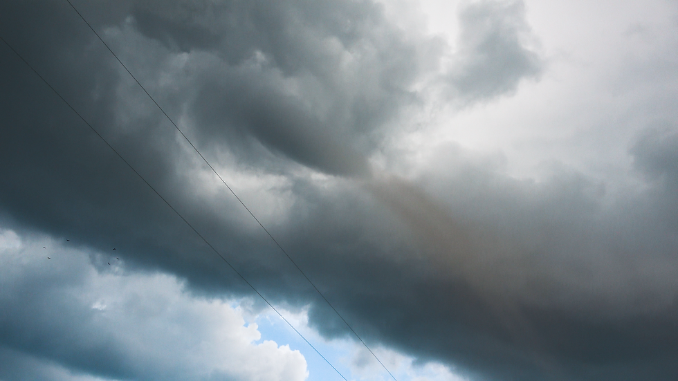
Late Friday evening into Saturday morning I started to notice a little trend in the models - the front that was sweeping through the Midwest had slowed down. Initially I'd hoped to be chasing on Friday, but the system slowed down so much that Friday's target was now that frustrating 7 hour drive away. That was annoying, but meant the front would now still be to my west for much of Saturday meaning a local thunderstorm was possible. The background synoptic state wasn't terribly supportive of supercells - there would be a ton of energy in the form of 4500 to 5500 j/kg of MLCAPE with t/tds of ~ 90/78. Storms would explode when they went up, but they'd need help to rotate.
The HRRR in particular became persistent in suggesting a robust thunderstorm or two would pop up between Champaign, IL and Lafayette, IN on Saturday evening. Additionally, there was something curious about the boundary storms would be developing on. It seemed like there was a little bit of vorticity added to the environment by a mid-day thunderstorm complex that had deposited an outflow boundary. The outflow boundary would intersect the cold front just about 50 miles to my northeast near Hoopeston, IL. Another tired, six hour drive west did not sound good on Friday, but a leisurely backyard drive with a summertime storm - that sounded delightful and kind of just what the doctor ordered.
The forecast on June 29th included the Illinois/Indiana border region in a marginal risk (level 1 out of 5) but had no tornado risk on the Day One Severe Weather Outlook from the Storm Prediction Center. On a day when tornadoes are simply not in the forecast and not on the radar for anyone around you, it can feel particularly odd to load up all of your camera gear and hit the road in search of tornadoes. That is storm chasing at its core though - predicting the future, loading up the car and trying to be somewhere before something cool happens so that you can be a witness to the spectacle.
I spent a lot of the day not in storm chasing mode - slept in, drank coffee in bed with Sophie before heading down to the Urbana farmers market and running a few other errands. I kept an eye on my little boundary to the northeast before deciding to hit the road around 2 PM. I didn't want to be so early that I lost my mind waiting, but I knew I'd need to be there early if I wanted to catch any initial funny business from developing thunderstorms. That was the play, after all. Be there at ground zero as storms erupt, tapping into the explosive energy of the day and stretching some of the ambient vorticity along the boundary, producing some funnel clouds - or more!
I put the Cubs game on the radio, grabbed a fountain Coke, and hit the road. I zig-zagged north and east along smaller county highways, admiring the bubbling cumulus field on the horizon. Eventually, I pulled off Hwy 9 just outside of Hoopeston, IL and found a spot off a gravel road to sit and listen to the game and watch the clouds without being bothered by anyone. For a while, this felt ridiculous. Towering cumulus clouds tried to burst through the cap and a bit of subsidence from morning storms with no success for nearly two hours while I contemplated my sanity. Did I really drive an hour to sit in my car in the hot sunshine listening to the Cubs while watching cumulus clouds bubble - and is that such a bad thing?
Then, it happened! A tall, crisp towering cumulus cloud shot into the air silhouetting the sun and produced a tiny little funnel cloud at its base. Even after the funnel cloud dissipated, I could still see a tight area of rotation at the base of the tower. This was certainly... something. There were numerous other little pockets of rotation along the bases of the towers erupting along the boundary. A little spud was also starting to show up on radar just to my north - things are happening. I decided to drift east of Hoopeston on Hwy 9 a couple of miles to keep the boundary to my west.
I pulled off on a gravel road a few miles east of Hoopeston, and everything went nuts. First one funnel cloud near or directly over Hoopeston, then another, and then so many at one time that I could not point my cameras at them. One funnel became very long, oriented at 45 degrees as it stretched toward the ground to my northeast. To my southwest by Hoopeston, another funnel cloud was extending closer to the ground with beautiful backlighting from the western sun. This one was close, probably within a mile now as it drifted to my southwest.
As I pointed the camera at this funnel I noted dust being kicked up at the ground - tornado in progress at 6:15 PM! I stood there for several moments shooting tripoded video of the tornado as it tracked to my south. With this weak tornado traveling rather slowly through a gridded network of paved or gravel farm roads, I decided I'd get a little closer to this one. Several times I came in behind the tornado as it crossed the road in front of me, getting an up close view of the ground circulation and cinnabun swirl and funnel cloud at the cloud base. While landspouts have been associated with EF-2 or EF-3 damage on rare occassion, this was a visibly weak tornado.
I followed the tornado across the state line into Indiana just south of Albia and northwest of Attica before it finally dissipated around 6:30. The tornado was in progress for about 15 minutes.
I was absolutely overjoyed. Exactly what the doctor ordered. A photogenic, harmless tornado over open fields in my backyard. I followed the storm through Attica down US 41 and found another quiet spot on a gravel road where I could watch the storm slowly churn on the horizon in the evening light. The storm was only moving at 10-15 mph to the southeast, so I was finally able to set up the tripod and stand around and watch a storm, something that's also been tough to accomplish in 2024 - a storm season that has been centered on urgency, destruction, and fast-moving storms. This was a needed change of pace.
Once the sun finally hit the horizon I started to drift back home. I put home into my GPS and saw I was only 58 minutes away. I won't complain about distance to storms again in 2024 - I got my local tornado.
The next few days offer more severe weather chances in the Central U.S. - Monday in the Central Plains and Tuesday in the Midwest. Monday probably isn't enough to drag me out to Nebraska for a variety of reasons, but I've got my eye on Tuesday.
A few video captures of the Hoopeston, Illinois tornado: